High altitude Mountain Bike Trail over the Velberg plateau
Route Overview
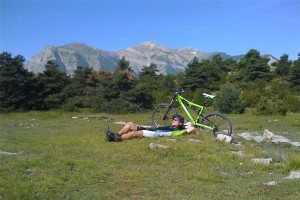
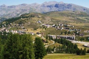
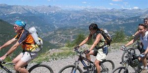
A 20km mountain bike ride through gently undulating terrain in the high Cians mountains, part of the Mercantour National Park in the Alpes Maritimes. The ride starts and finishes in Valberg and takes you through both forests of fir and spruce and barren landscapes characterised by the red rocks typical of this area. The ride takes in some enchanting scenery with stunning views over the Raton range of mountains, the hamlet of Illion with its drinking water fountain to quench your thirst at the mid-way point.


The Route
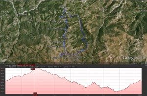
From Valberg town centre, cycle down Avenue de Valberg and turn right down Route du Garibeuil. At the bend in the road, take the trail off to the left and climb to the plateau. Continue east to the Croix du Sapet and on to the col de Maty (1748 m).
Stay on the dirt road and continue on to the collet Sainte-Marie.
Continue on the Cians-Var watershed trail and take the road to the col des Anguillers (1856 m), and from there cycle up the ramp to reach the Bréchette (1901 m).
It’s downhill from here to the col du Raton (1821 m), and then once you reach the Granges du Raton, take the trail that heads out to the Granges d’Auvare (1730 m) and loops back to rejoin the main trail.
At the intersection, take the trail on the left and continue descending to L’Illion (1568 m). Pause here for a refreshing drink from the spring. Leaving L’Illion, it’s a 1km climb before the descent into Margioulins.
From Margioulins, continue heading north along the Vallon de Challandre and climb to the Parking des Eguilles and follow the GR52A trail back to Valberg.
[box type=”info” size=”medium” style=”rounded” border=”full” icon=”https://www.ultimatefrance.com/wp-content/images/icons/gps-icon-xsmall.gif”] GPS Download (GPX File) Google Earth Download (KML File)[/su_box]
Route Notes
- Departure point: Valberg
- Altitude at trail start: 1673 m
- Length: 20 km
- Climb: 460 m
- Descent: 460 m
- Duration: 3:00 hours
- Difficulty: quite hard
- Best time to ride: June to October
Getting There
From Nice, head inland up the Var valley for 78 kms towards the Mercantour National Park.
- From Nice, take the A8 towards Digne/Grenoble/Carros
- Merge onto Bd Georges Pompidou/D6202
- Continue to follow D6202
- Slight left onto Route de Grenoble/D6202
- At the roundabout, take the 3rd exit onto D6202BIS
- Slight right onto D6210
- At the roundabout, take the 2nd exit onto D2210
- At the roundabout, take the 2nd exit onto Route de Grenoble/D6202
- Continue to follow D6202, go through 4 roundabouts
- Turn right onto D28
- Turn left onto Pra d’Astier/D28
- Continue to follow D28
- Turn right onto Route de Nice/D28
- Turn left onto Route des Launes/D28
- Continue to follow D28
- Go through 1 roundabout
- Turn left onto Rue Jean Mineur/D28 and you have reached Valberg, the start of this ride.
