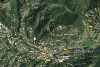
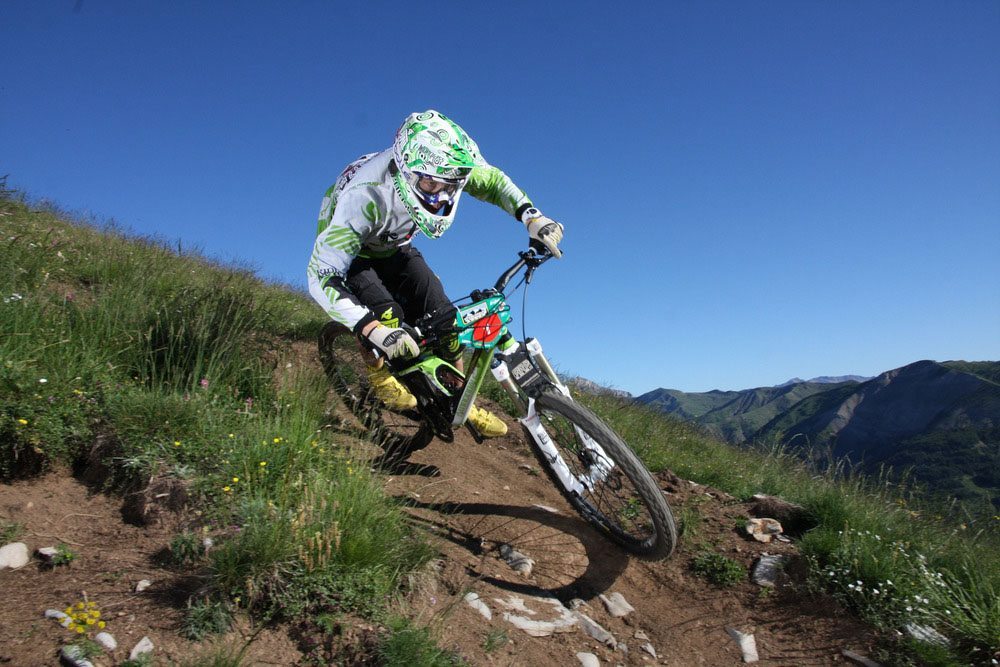
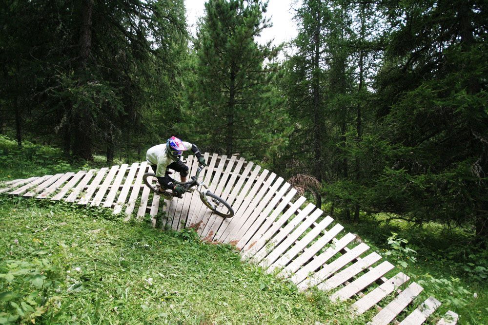
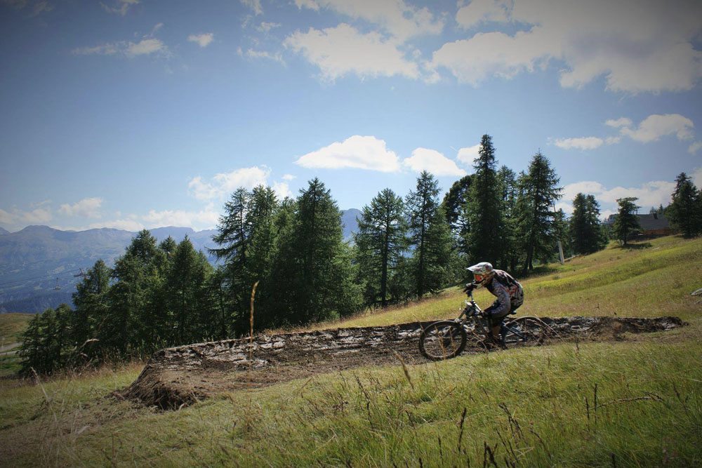
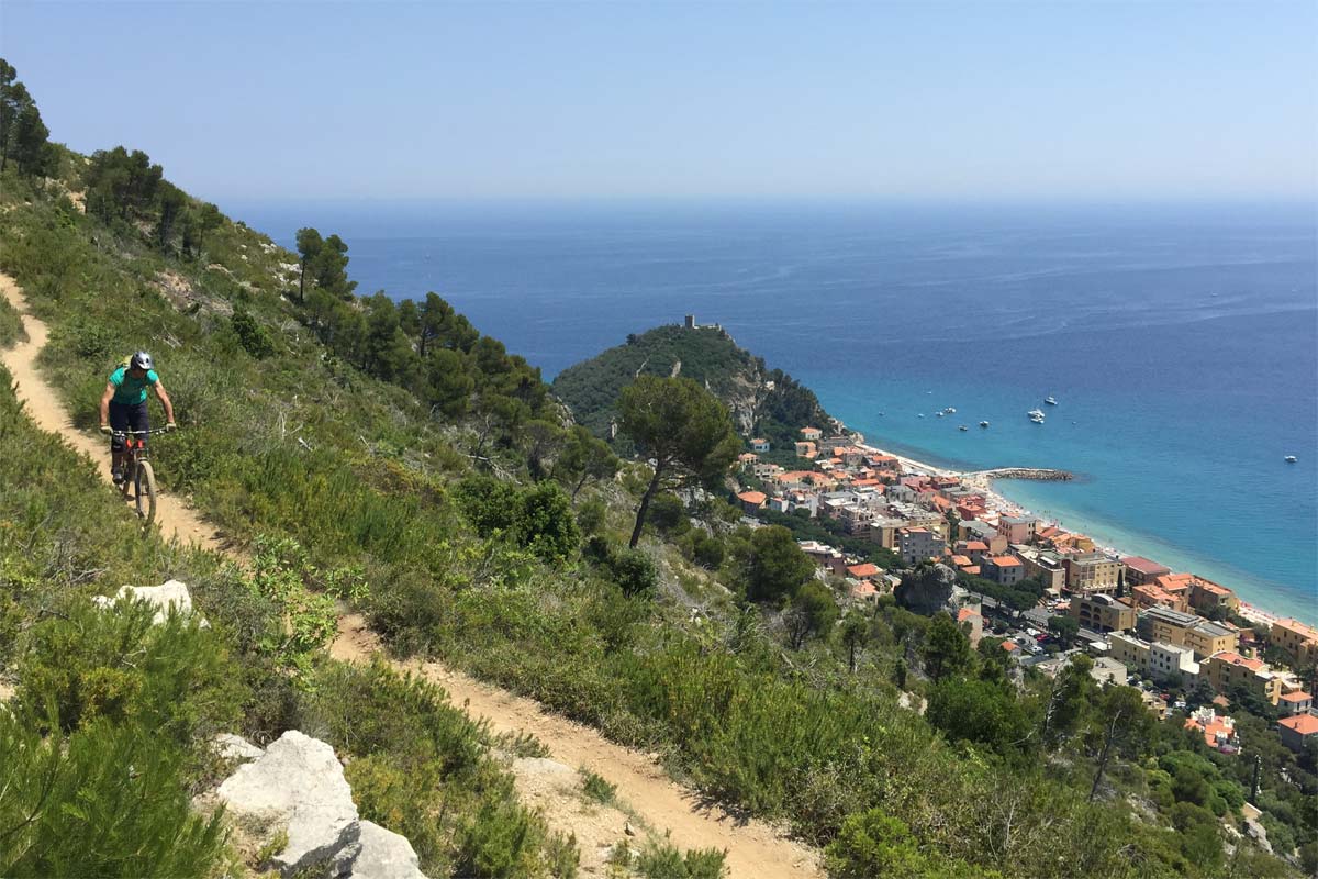
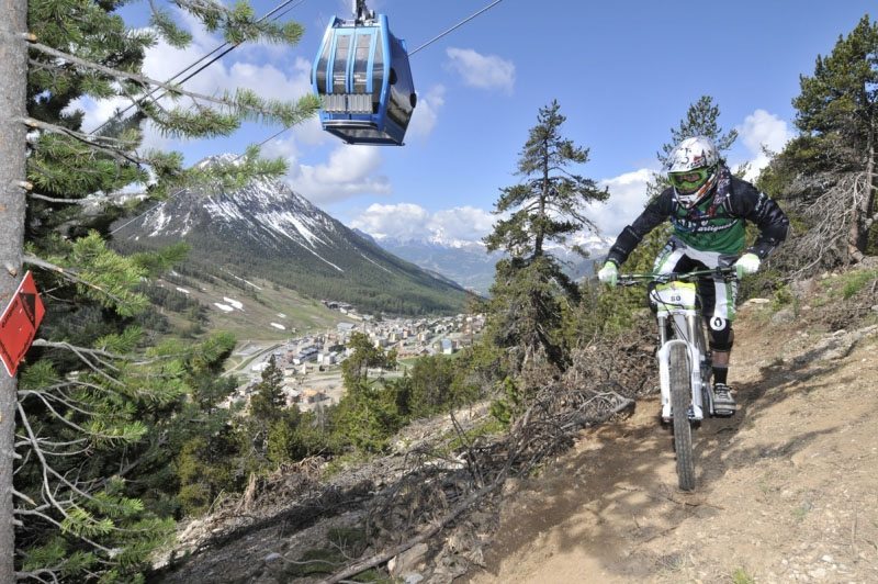
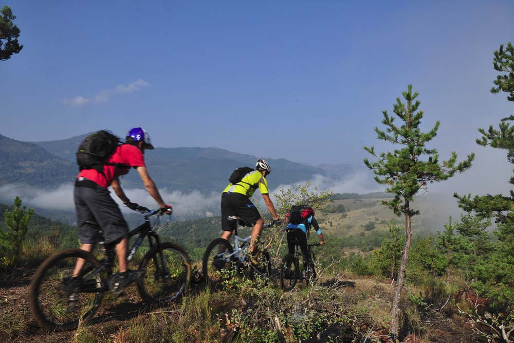
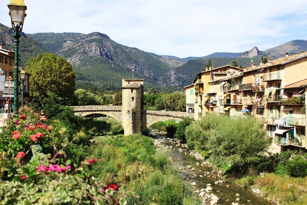
Just 45 minutes inland from Nice and close to the Italian border, Sospel is a picturesque mountain town in the beautiful Bévéra valley. You can expect dry and exposed rocky trails through shrub-covered ground and lush wooded areas. Sospel is a great place for technical singletrack or to put in some winter downhill training. There’s a bike-park, a year round downhill trail and 11 graded XC trails making up a total of 160 km of riding.

Superb year round technical riding. Only 45 mins from Nice. Dry trails.
Small bikepark. Only 1 dedicated DH trail.
Elevation
Summit
Vertical Drop
Base
Lift
Total
Cable-Cars
Chairlifts
MTB Trail Highlights
Trail Details
XC
Downhill
eMTB
Total Riding
Bike Park
Bike Wash
Beginner Trails
Intermediate Trails
Advanced Trails
Expert Trails
Practical Information
Opening times
Resort prices
Nearest airport
Tourist Office
Office de Tourisme de Sospel
19 Avenue Jean Médecin
06380 Sospel
France
Phone: +33 (0)4 93 04 15 80
Web: www.sospel-tourisme.com
Email: infos@sospel-tourisme.com
The year-round mild climate and low rainfall make great conditions for mountain biking. With loads more quality riding in the vicinity, not to mention across the border in Italy, this is a must-do trip when the weather is miserable back home.
Sospel mountain bike trails
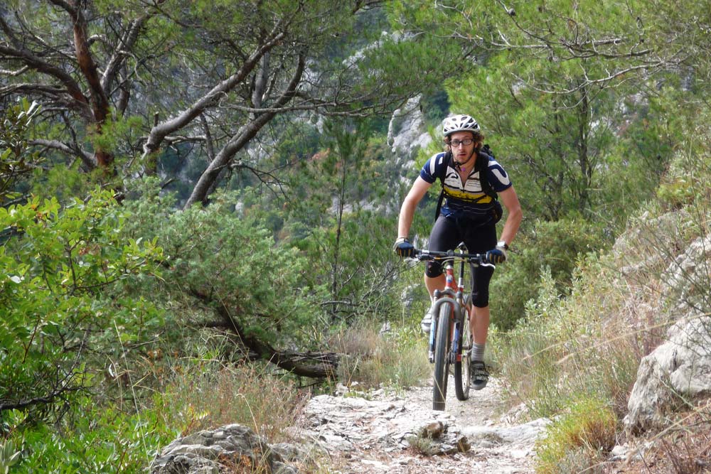
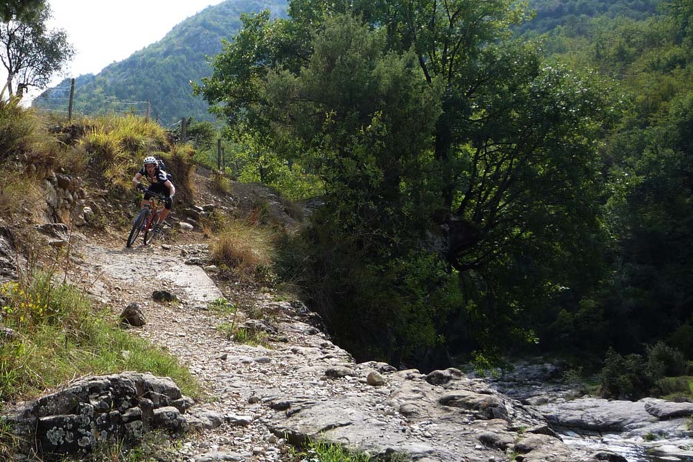
The riding is a nice mix of easy climbs on forest tracks and singletrack descents. Most of the trails are quite technical due to the rocky terrain of the region, so beginners can find the biking quite challenging.
Watch this: Orange Bikes travel to Sospel in France.
There’s a network of 160 km of waymarked XC MTB trails from green to black created by the FFC. On the enduro side of things, Sospel MTB have contributed to trail maintenance and the development of the Sospel trail network. The scenery and views are second to none and there’s a superb mix of mountaintop traverses and fast and loose forest runs as you drop down into the valley. Waymarked trails are predominantly a mix of technical reds and blacks aimed at more experienced riders.
Here’s a selection of our favourite trails:
1. La Baisse de Figuera
Grade: Red | Vertical drop: 390 m | Distance: 9 km
The route
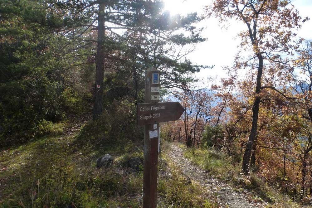
Park at the post office car park. Start the route from a steep climb on a tarmac road before picking up the GR52. Leave the trail after a very steep climb. Take the road for 300 m and then take a right to pick up the second section of the GR52 and follow the trail to the well signposted ‘La Baisse de Figuiera’. Once off the GR52 take the trail on the right hand side down to the ruin. Continue straight on on undulating singletrack to the Col de l’Agaisen. Some sections are very steep and depending on how fit you are, you may need to push up some bits. From the col, stay on the single track back towards Sospel. The trail will take you across the road twice before finishing on La Route des Ecoles.
2. Le Vallon de l’Uerbi
Grade: Black | Vertical drop: 590 m | Distance: 15 km
The route:
From the post office car park take the road on the right towards the schools. At the hairpin bend follow the GR52 until you get to the road. Continue straight on and then rejoin the GR and follow to La Baisse de Figuera. Take the road towards La Baisse de Levens. Continue on for 200 m and take the trail on the right to the bottom of the valley. Cross over and follow the trail to the Col de l’Agaisen. Head towards Sospel on the undulating singletrack. The trail will take you across the road twice before finishing on La Route des Ecoles.
3. Le Parcours DH
Grade: Black | Vertical drop: 390 m | Distance: 7.65 km
The route:
Park at the post office car park. Start the route from a steep climb on a tarmac road before picking up the GR52. Leave the trail after a very steep climb. Take the road for 300 m and then take a right to pick up the second section of the GR52 and follow the trail to the well signposted ‘La Baisse de Figuiera’. Take the trail that climbs on the right and the downhill starts just 200 m past the pylon.
The trail takes you across two roads on the way down, just watch out for the FFC danger signs. After the second road the trail takes a right into the forest and down to the GR 52. Follow it for 300 m and take a right at the gate and ride the series of berms that spit you out into the bikepark.
4. Le Vallon du Guiou
Grade: Black | Vertical drop: 1250 m | Distance: 28 km
The route:
This is a physically demanding and technical trail. Make sure you’re carrying plenty of water and take care in the descents.
From the post office car park, take the road towards Moulinet. After 2 km turn left and follow to the junction. Then take a right to the start of the trail. Climb for a few kilometres, you’ll pass in front of a national forest barrier, keep grinding up the hill until you reach the summit (Pas de l’Agree).
Pick up the tarmac road and take it down to the first hairpin and leave the road via the trail that runs along the ridge. You may need to portage the bike a few times. Follow the trail to the col de l’Able and cross the D 54 road and continue down to Candaniel. Once you get to the bottom of the valley, take the trail signposted to Sospel.
5. La baisse du Pape
Grade: Red | Vertical drop: 730 m | Distance: 22 km
The route:
A nice shady trail. Decent level of fitness required. Take care, there are numerous road crossings required.
From the post office car park, take the road towards Moulinet. After 2 km turn left and follow to the junction. Then take a right to the start of the trail. Climb for a few kilometres, you’ll pass in front of a national forest barrier, keep grinding up the hill until you reach the summit (Pas de l’Agree).
Take the trail on your left up to the Col de Braus. Cross the road and take the trail on the right. After a kilometre, follow the ridgeline to the Baisse du Pape. From there follow the trail on the left down through the woods to the road.
At the road, turn right and at the hairpin cut through on the right to bypass the hairpins. At Col Sain Jean, cross the hamlet and turn left onto a road that eventually becomes a trail, and then is once more surfaced. Then, at the first corner take the trail opposite, and follow it to the Fort St. Roch turrets. From there take the road back to Sospel.
Getting to Sospel
From Nice, take the A8 motorway towards Menton. Come off at exit 59 and take the RD 2566 towards Castillon/Sospel. Allow 40 minutes driving time from central Nice. For private airport transfers from Nice-Côte d’Azur airport, contact Cool Bus.
Bike Friendly Accommodation in Sospel
Stay in Sospel or in the hills around the town. Here’s some recommended bike-friendly accommodation in Sospel.
[twocol_one]
Maison St Joseph – Sospel
From 60 € per night
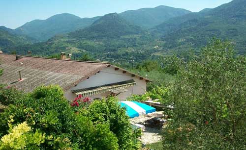
Provençal B&B accommodation with its own olive grove in the hills 3 km outside Sospel. Expect a warm welcome and amazing homemade food including 3-course evening meals with wine for 20 euros and freshly baked bread and homemade jams for breakfast. Bike hire and shuttle service available.
[button color=”#37A8E0″ border=”#555″ size=”medium” link=”https://www.ultimatefrance.com/go/hotels-maison-st-joseph” rel=”nofollow” window=”true”]Check availability | Go >[/button]
[/twocol_one]
[twocol_one_last]
l’Auberge Provencal
From 80 € per night
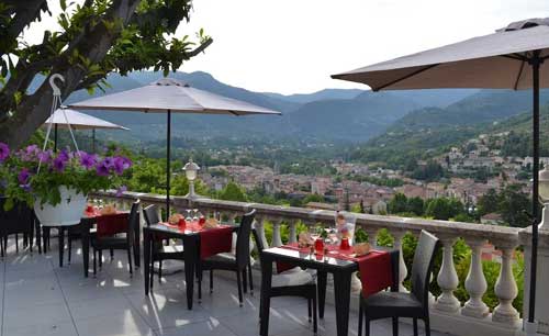
This popular auberge is located on top of a hill overlooking Sospel. Comfortable, modern rooms offer views over the surrounding countryside. Enjoy local Provencal cuisine on the shady terrace and a good breakfast to set you up for a day on the bike. A stone’s throw from the mountain biking trails.
[button color=”#37A8E0″ border=”#555″ size=”medium” link=”https://www.ultimatefrance.com/go/hotels-lauberge-provencal” rel=”nofollow” window=”true”]Check availability | Go >[/button]
[/twocol_one_last]
MTB Gallery
We're watching
Sospel MTB Videos
You may also like
Please leave a comment below if you need specific advice for your ski holiday to France, or if you have any recommendations to help us improve this guide. Happy holidays!

