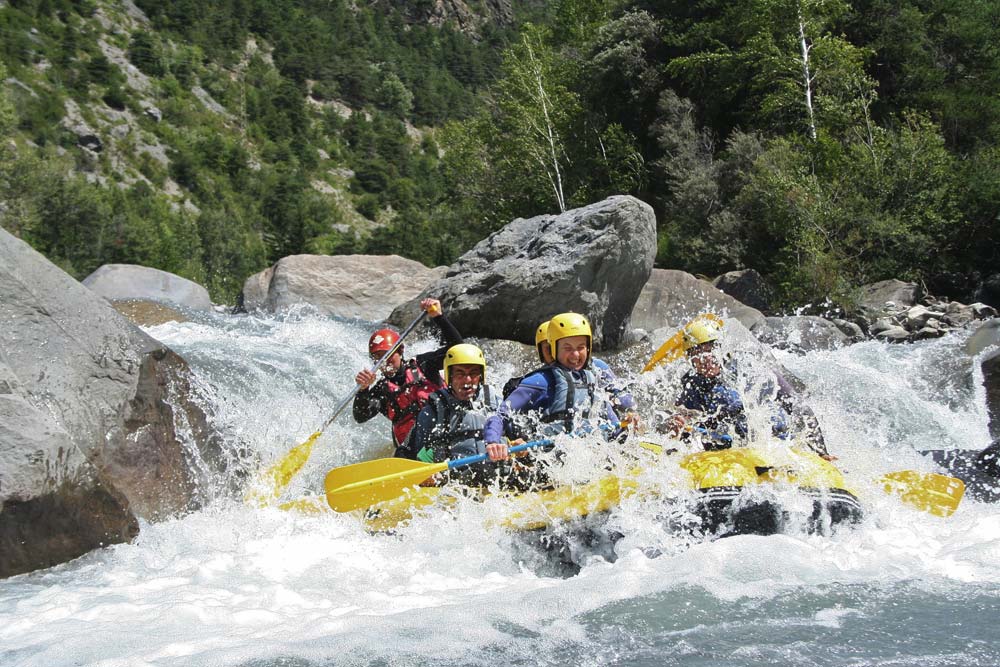
Whitewater rafting and kayaking descents on the Ubaye river
The Ubaye has over 50 km of class II to V whitewater between the boarder with Italy and the Lac de Serre-Ponçon. Considered to be one of France’s top rafting and kayaking descents, the Ubaye is an unspoilt and natural flowing river, undoubtedly one of the most beautiful in the French Alps.
The Ubaye river, which has given its name to the Ubaye Valley runs east to west for 80 km from its source at the 2655 m Col du Longet on the Italian border to the Lac de Serre-Ponçon, where the waters join the Durance. Perfect for both rafting and kayaking, the Ubaye is a good wide river, boulder-strewn with wild bouncy rapids. In places the Ubaye compares nicely to a Himalayan river. More than 10 distinct sections of whitewater from class II to V span the 52 km from Saint-Paul sur Ubaye to Roche Rousse where the river meets Serre-Ponçon Lake.
When to go Rafting & Kayaking on the Ubaye
The Ubaye is the only major river system in the southern French Alps that has escaped damming and is naturally fed with run-off from the Monte Viso Massif. As a result, you can paddle the river every day from spring through to autumn making it a top destination for river runners. The natural flow means that water levels change with the seasons; the highest flow comes with the snow melt in the spring, and after heavy rain floodwater can alter the river’s course. So, river runners need to be flexible and adapt to conditions on the day. Typically with spring snow melt, the river rises to a maximum flow of around 50 m³/s, then settles down and gradually reduces in volume through the summer to a low of 13 m³/s.
Book a Rafting, Kayaking or Hot Dogging Trip on the Ubaye
Our rafting and kayaking partners in the Ubaye employ experienced guides who are all fully qualified so you can have fun and stay safe. Enjoy a rafting trip with friends and family, ramp up the fun with inflatable kayaks, or turn up the adrenaline with a tandem kayak adventure down the Ubaye Gorge.
[sabai-directory-listings category=rafting-kayaking address=barcelonnette,france distance=50 featured_only=1 hide_nav=1]
The best Ubaye Rafting & Kayaking descents
The Ubaye Racecourse – Martinet to Le Lauzet
The Ubaye Racecourse is the classic Ubaye run. A consistent stretch of class 3+ to 4 whitewater with fun big and bouncy rapids and surprisingly warm water. 15 rapids in quick succession, including named rapids like Dent de Requin (Shark’s Tooth) and Rouleau de Printemps (Spring Roll) make this section a must for your kayaking bucket list. The scenery is outstanding with views over the wooded valley, and at the end of the descent the river narrows through a sheer sided gorge. Put-in at the rafting base just past Le Martinet. Take out below Le Lauzet at La Source campsite.
Class: IV. Gradient: 15 m/km. Flow: 30 m³/s.
Paddling time: 2 hours. Distance: 8 km. Best months: May to July.
The Ubaye Gorge – Le Lauzet to Roche Rousse
The most technical and engaged section of river in the Ubaye Valley. The first 500 m are class 3 before the river narrows and drops into class 5 rapids like Fosse aux Lions (Lion’s Den) with its sticky pour-overs, La Moulinette (The Blender) with its notorious siphon and big boulder, Le Labyrinthe. For rafting and kayaking, the difficulty depends on the water level. Commercial rafting trips are run in August when the river is at its friendliest. Put-in at Les Moulins at the bottom end of Le Lauzet. Take out after the road bridge over the entrance to Serre-Ponçcon lake.
Class: V. Gradient: 20 m/km. Flow: 20 m³/s.
Paddling time: 2 hours. Distance: 4 km. Best months: August to September.
The Upper Ubaye – La Lauzières to Jausiers
In higher water the top section is a fast flowing boulder dash suitable for confident intermediate kayakers. Later in the season as the water level comes down, it’s pure fun class 3 and a great Alpine training ground for intermediate paddlers. Below the Ubayette confluence, the river roughly doubles in flow and later in the season you could find yourself putting in here. In higher water, you can put in 5 km further up at La Lauzière. Expect lots of fun boulder strewn class 3 water through superb Alpine scenery. Take out just below Jausiers, river left at Barnuquel by the Sainte-Anne bridge. Commercial rafting companies tend to favour hot-dog kayaking or hydrospeeding trips on the Upper Ubaye.
Class: III. Gradient: 12 m/km. Flow: 10 m³/s.
Paddling time: 2.5 hours. Distance: 13 km. Best months: May to July.
Le Bachelard – Le Grand Pont to Le Pied de la Maure
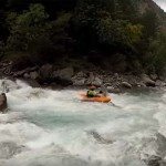
A tributary of the Ubaye, the Bachelard is a steep, technical class 4 mountain river which drains down from the Mercantour National Park. The 6 km or so below le Grand Pont (the only high bridge over the river) are runnable, above le Grand Pont it’s class 6 water and paddling is prohibited. There’s a short window during May and June to paddle the Bachelard but if you hit it right it’s a playboater’s dream with rock spins and boofs galore. Put in straight into solid class 4 just below the high bridge. Take out where the D908 crosses the river. A handy restaurant, Le Refuge des Marmottes, is just up the road. Rafting trips on Le Bachelard are run commercially by a handful of companies. They describe the descent as technical and very exciting, and one that requires a good level of fitness.
Class: IV to IV+. Gradient: 24 m/km. Flow: 10 m³/s.
Paddling time: 2 hours. Distance: 6 km. Best months: May and June.
Please leave a comment below if you need specific advice for your rafting and kayaking trip to the Ubaye, or if you have any recommendations to help us improve this article. Happy holidays!
You may also like…
Ubaye Valley – An Active Holiday Guide
Rafting & Kayaking in the Southern French Alps
Rafting & Kayaking on the Verdon

